Proposal 6: SEATIES
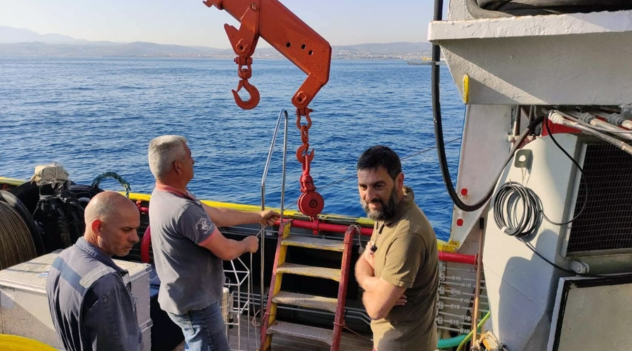
Revealing the underwater landscape in the marine urban ecosystem of Heraklion, Crete
When: May 2022
Where: Municipality of Malevizi coastal zone
What: Mapping of the underwater seascape in the coastal urbanized area of the Municipality of Malevizi in Heraklion Prefecture
Who: terraSolutions marine environment research
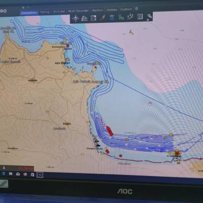
Within the SEATIES action, the main objective is the mapping of the coastal zone of the Municipality of Malevizi from Ammoudara to Cape Stavros.
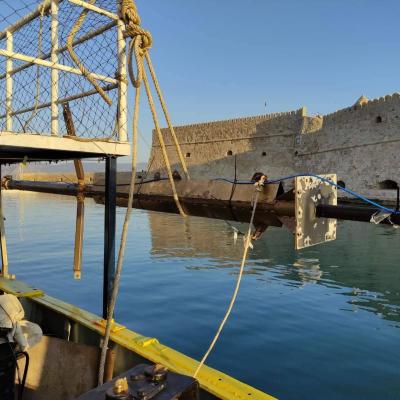
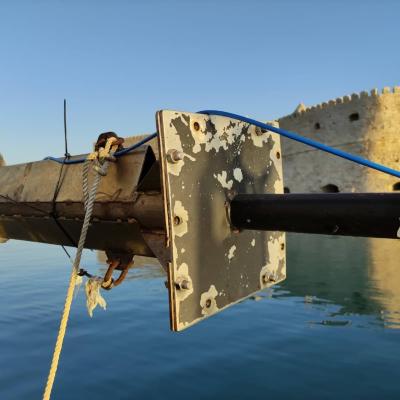
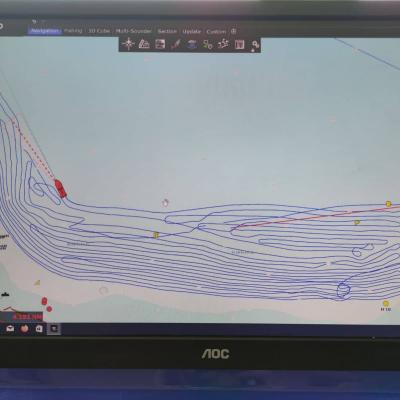
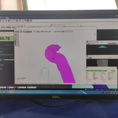
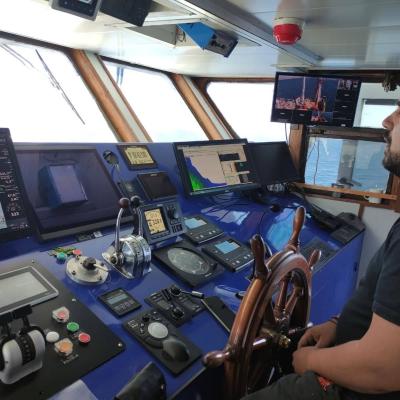
The data collection was carried out in the bathymetric range -15 m to -70 m. The multibeam sonar system mounted on the renewed research vessel was used, allowing the collection of bathymetry and backscatter data.
The combination of these two types of data in synergy with the use of coastal marine observation data (drones, aerial photographs, satellite observations) will allow the production of value-added data.
These are necessary both for the management of coastal zone at the municipal level, such as the zoning of actions and land use in the coastal marine space, the protection and conservation of important marine ecosystems, and in the private sector, such as the availability of high quality data for use in tourism development planning (diving, water sports, snorkeling), coastal projects, planning of marine protected areas on the urban front as well as the identification of fishing areas for small-scale coastal fisheries in order to rationalize the use and conservation of coastal marine ecosystems.
The data produced by the project will be made available to all in an open repository of scientific geospatial data.


